29 September 2026 | 8 min read
People Pen Desk
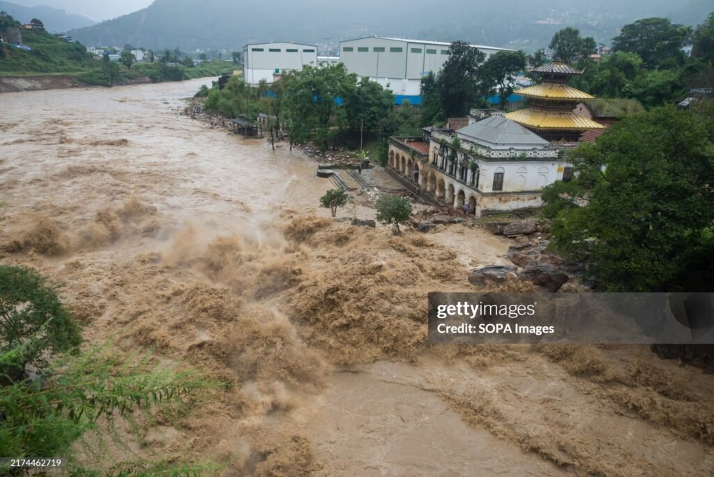
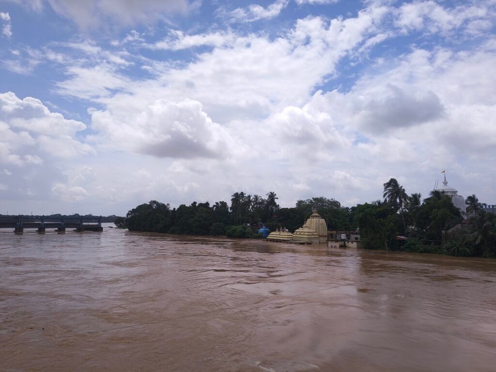
The flood threat in Odisha is now spread across multiple river systems, with the Mahanadi creating downstream pressure while the Baitarani, Jalaka, Salandi, Subarnarekha and Budhabalanga have affected northern districts. The situation follows intense and uneven rainfall across different parts of the state.
Odisha’s flood concern has shifted downstream.
Authorities have opened additional gates at the Hirakud reservoir as heavy rainfall and rising inflows increase pressure on the Mahanadi system. On September 28, 30 gates had been opened, with coastal districts placed on alert over the expected movement of water towards the lower Mahanadi basin.
But the Mahanadi is not the only river in flood. In northern Odisha, the Baitarani and other rivers have also remained in focus, affecting parts of Jajpur and Bhadrak, while the Jalaka and Salandi systems have continued to affect low-lying areas. In Balasore, the Subarnarekha and Budhabalanga have also contributed to flooding and disruption. The State Emergency Operation Centre said on September 28 that parts of Baleshwar, Jajpur, Bhadrak and Mayurbhanj were affected by rising water levels in the Budhabalanga, Baitarani, Subarnarekha and Jalaka rivers. Earlier reports recorded the Baitarani above its danger level at Akhuapada in Bhadrak, while the Subarnarekha had also crossed its danger level at Rajghat in Balasore.
The situation has placed districts along the downstream river system under close watch. The areas of concern include low-lying parts of Cuttack, Khordha, Puri and Jagatsinghpur, along with parts of Kendrapara. Earlier assessments had warned that discharge at Mundali could reach around 7 lakh cusecs and potentially rise to about 8 lakh cusecs.
The number of gates open at Hirakud matters less than where that water goes next. Water released upstream travels towards the lower Mahanadi, where its impact depends on the volume of flow, tributary contributions, river capacity, embankments and the vulnerability of settlements in the floodplain.
The current situation follows a week in which different parts of Odisha experienced different stages of the same broader weather and water event. Southern districts faced intense rainfall and rapid river responses first. The flood pressure has since shifted towards the Mahanadi basin and its downstream areas.
The flood threat is moving downstream
Flooding does not always occur at the same time or in the same place as the rainfall that causes it.
Rain falling across an upper catchment enters streams and tributaries before reaching the main river. Reservoir inflows can increase after rainfall has ended in the immediate area, and water released from an upstream dam can reach downstream locations hours or days later.
The Mahanadi system includes the main river, tributaries and distributaries such as the Kathajodi, Kuakhai, Chitrotpala and Luna. A rise in the main river can therefore create pressure across several connected channels rather than at one isolated location.
That is why the weather over the original rain-affected districts does not tell the whole story.
Hirakud becomes the next pressure point
The Mahanadi flood threat intensified after heavy rainfall across the upper basin increased inflows into the Hirakud reservoir and connected river systems.
On September 27, 28 gates of Hirakud had been opened, with the reservoir level at around 628.3 feet against a full reservoir level of 630 feet. Authorities warned that the discharge at Mundali could rise to approximately 7 lakh cusecs and potentially reach 8 lakh cusecs.
By September 28, 30 gates had been opened. The movement of water from Hirakud towards Mundali is now the main concern. A forecast discharge figure does not tell you how badly any one downstream village will flood. Actual conditions will depend on the flow recorded at different points, the contribution of tributaries and the condition of the river channels.
The first phase began in southern Odisha
The present Mahanadi threat developed after a deep depression crossed the north Andhra Pradesh coast near Kalingapatnam between the night of September 23 and the early hours of September 24.
At the time of landfall, the system had maximum sustained winds of 55-65 kmph, with gusts reaching 75 kmph. The system produced intense rainfall across southern Odisha. In the 24 hours ending at 8.30 am on September 25, Tentulikhunti in Nabarangpur recorded 395 mm of rainfall. Nandahandi recorded 344 mm, while Borigumma in Koraput recorded 307.8 mm. Several other locations in Nabarangpur, Koraput and neighbouring districts also recorded exceptionally heavy rainfall.
The rainfall produced a rapid response in local rivers and affected road connectivity in several districts. Rushikulya was reported above its warning level at Purushottampur in Ganjam, while Vamsadhara crossed the danger level at Kashinagar in Gajapati. Landslides, flooding and road blockages added to the difficulties in hilly and rain-affected areas.
By September 26, the State Government reported that heavy to very heavy rainfall had affected 18,466 people across 10 districts. The districts included Koraput, Ganjam, Gajapati, Malkangiri, Nabarangpur, Kandhamal, Balangir, Kalahandi, Nuapada and Rayagada. About 14,000 people had been evacuated from vulnerable areas. These are early figures from the south. They are not the final count for the state.
A second hydrological phase
The deep depression weakened after moving inland, but the water generated by its rainfall continued to move through different catchments.
The upper Mahanadi basin also received heavy rainfall during this period. Rainfall across the basin had increased inflows into tributaries and reservoirs connected to the Mahanadi system.
The effect of this rainfall was different from the initial flooding in southern Odisha. In the south, intense rainfall over a short period caused rapid local and riverine responses. In the Mahanadi basin, the concern developed through accumulated runoff, tributary flows and rising reservoir inflows.
Different catchments received rain at different times and responded differently, depending on local geography and river conditions.
The Government’s response
The State Government had begun preparations before the deep depression crossed the coast. Vulnerable districts were placed on alert, while ODRAF, NDRF and Fire Services personnel were kept ready. District and block control rooms were activated, and arrangements were made for essential supplies in vulnerable areas.
As the impact spread across southern Odisha, evacuation and relief operations were expanded. The Chief Minister Mohan Charan Majhi visited rain-affected areas and directed officials to accelerate relief measures and ensure the availability of essential supplies.
The task facing officials has changed. Authorities must now monitor the movement of floodwater downstream, identify vulnerable settlements and maintain access to roads, bridges, shelters, health services, food and drinking water.
How well this goes now depends as much on how fast river-level data reaches local officials as on how many people are moved.
What remains uncertain
The rainfall, reservoir and river-flow figures show that the situation is changing. They do not yet show how much damage has been done to farms, homes, roads and bridges.
A full damage count will need to wait until water levels settle and officials can get into the affected areas. Some locations may begin to recover while downstream areas experience a fresh rise.
The figures also need to be read with their observation times. The number of Hirakud gates open, the reservoir level and the discharge at Mundali can change during the day.
The larger picture
This started as a weather system off the Andhra-Odisha coast. It has moved through several stages since.
The deep depression brought intense rainfall to southern Odisha. Rivers and local drainage systems responded rapidly. Later rainfall across the upper Mahanadi basin increased inflows into the wider river system. Hirakud then became a major point of water regulation, while the downstream districts prepared for the movement of floodwater towards the delta.
Where the rain fell hardest and where the flood risk is greatest are not the same place, and that gap can shift as water moves through tributaries, reservoirs and the main river.
For Odisha, the rain stopping is not the point. What matters now is where the water goes next, how fast river levels change, and whether roads, embankments and low-lying settlements hold through the next stage.
The depression itself has weakened. The water it left behind is still moving.